GIS & Geospatial Engineering
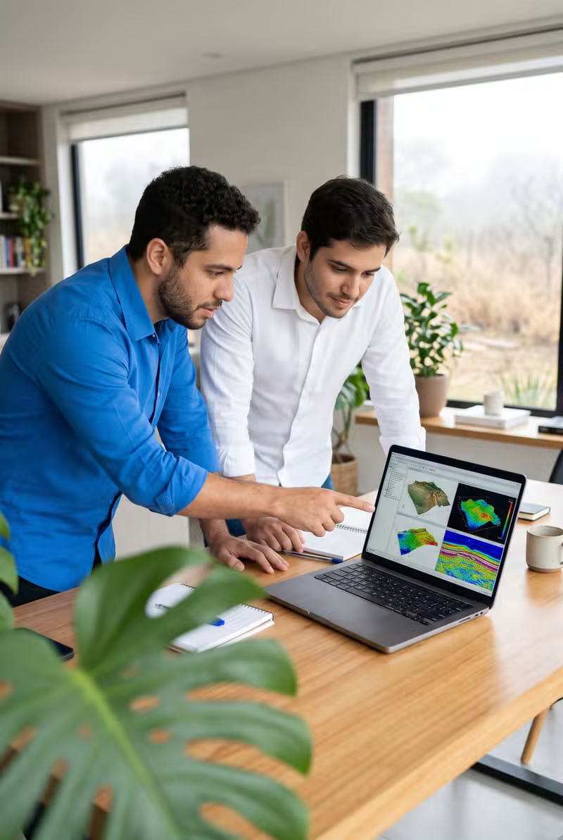
End-to-end GIS engineering — spatial data modelling, geodatabase design, analysis and map production for infrastructure programmes.
About Last Peak Data
Last Peak Data brings together experienced GIS engineers and a scalable offshore production model to serve utilities, infrastructure owners and consultancies worldwide.
About Last Peak Data
Geospatial Intelligence. Engineering Excellence. Infrastructure Innovation.
Established in 2000, Last Peak Data is an Indian technology and geospatial engineering organisation specialising in Geographic Information Systems (GIS), utility asset mapping, infrastructure digitisation, CAD engineering, remote sensing and spatial data management.
Over the years, Last Peak has developed capabilities across the geospatial and infrastructure technology ecosystem, supporting electricity distribution companies, utilities, engineering organisations and infrastructure development initiatives.
Our expertise spans the complete geospatial project lifecycle — from field data collection, mapping and digitisation to spatial database development, asset management, engineering drawings, data integration and quality assurance.
We combine experienced technical professionals, advanced geospatial technologies and scalable project delivery capabilities to help organisations transform complex infrastructure information into accurate, structured and actionable digital data.
With a strong foundation in India and an established history of international service delivery, Last Peak is focused on becoming a trusted GIS engineering and outsourcing partner for infrastructure companies, utilities and engineering consultancies.
0+
Years of experience
0+
Specialists
Our Core Areas of Expertise
From GIS engineering and utility asset mapping to CAD drafting, remote sensing and scalable production outsourcing, our teams deliver across every stage of an infrastructure data programme.
End-to-end GIS engineering — spatial data modelling, geodatabase design, analysis and map production for infrastructure programmes.
Digitising distribution networks and assets — poles, conductors, transformers and switchgear — into connected, attributed GIS models.
Converting legacy records, drawings and surveys into structured, standards-compliant spatial databases.
Construction-ready electrical and utility layouts, as-built drawings and CAD-to-GIS data conversion.
Feature extraction, orthophoto processing and point-cloud classification from satellite, aerial and drone surveys.
Integrating smart meter and consumer data into GIS for accurate asset visibility and network planning.
Mapping water, road and buried utility networks with precise attribution and full connectivity.
Scalable offshore GIS production, QA pipelines and high-volume data processing for engineering teams.
Purpose & Direction
A clear mission and a global vision guide every project we deliver.
To deliver accurate, reliable and scalable geospatial engineering solutions that help organisations make better infrastructure decisions, manage critical assets and build smarter, connected communities.
To become a globally recognised geospatial engineering and GIS outsourcing partner, supporting infrastructure development and digital transformation through innovation, technical excellence and dependable delivery.
Our Core Values
Delivering reliable spatial data and engineering outputs that teams can build decisions on.
Building long-term relationships through dependable service and consistent communication.
Adopting modern GIS, automation and geospatial technologies to work smarter and faster.
Maintaining transparency, accountability and professional ethics in everything we do.
Supporting projects of different sizes through flexible, responsive delivery teams.
Constantly improving technology, processes and productivity across our organisation.
Global Presence
United States
Primary market for utility and infrastructure mapping programmes.
Canada
Municipal water, telecom and engineering consultancy delivery.
India
Delivery centre for production, QA and GIS engineering.
International
Selected projects across EMEA and Asia-Pacific.
Our Journey
From a focused geospatial studio established in 2000 to a scalable delivery partner for organisations across three continents.
2000
Last Peak Data is founded as a focused GIS and geospatial engineering organisation.
2000s
Expanded into utility asset mapping, network digitisation and infrastructure data programmes.
2010s
Added CAD engineering, asset digitisation, field survey support and remote sensing capabilities.
Today
Delivering at scale for clients across India, the United States, Canada and international markets.
Let’s Talk
Tell us about your project, data volumes and timelines. Our delivery team will respond within one business day with a clear scope and engagement plan.