Projects

Geospatial programmes delivered at national scale.

A portfolio of electricity distribution asset mapping, GIS digitisation, CAD engineering and spatial data programmes — showcasing the technical depth we bring to utility and infrastructure clients.

Distribution Network Asset Mapping
Electricity Distribution Client: TPCODL

Distribution Network Asset Mapping

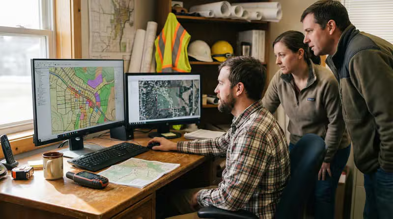
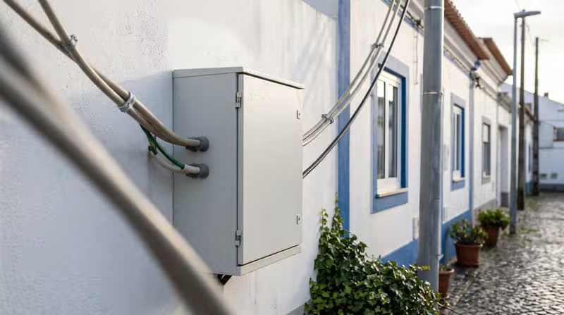
Mapped and attributed overhead and underground distribution network assets across the licensed area, capturing poles, conductors, transformers, switches, jumpers and service points into a single connected GIS data model.

Asset mapping Network digitisation Data attribution

Key Deliverables

  • Georeferenced distribution GIS
  • Connected topology and asset register
  • QA-verified attribute data
Network Digitisation & GIS Data Conversion
GIS Digitisation Client: PUVVNL

Network Digitisation & GIS Data Conversion

Converted legacy network records, scanned drawings and CAD files into a clean, georeferenced and standards-compliant geodatabase with full connectivity and consistent attribution.

Scan-to-GIS digitisation CAD to GIS conversion Schema mapping

Key Deliverables

  • Enterprise-ready geodatabase
  • Consistent data schema
  • Digitised asset inventory
CAD Drafting & Utility Engineering Drawings
CAD Engineering

CAD Drafting & Utility Engineering Drawings

Produced accurate AutoCAD layouts and as-built drawings for electrical and utility infrastructure, aligned to client CAD standards and the underlying GIS data model.

AutoCAD drafting Engineering detail drawings As-built documentation

Key Deliverables

  • Construction-ready drawing sets
  • Standards-compliant layers
  • Drawing-to-GIS alignment
Utility Network Mapping & Spatial Data Processing
Utility Mapping

Utility Network Mapping & Spatial Data Processing

Built and processed utility network datasets with geometry validation, topology checks and spatial analytics to keep critical asset information accurate and reliable.

Utility network mapping Spatial data processing Topology validation

Key Deliverables

  • Validated spatial datasets
  • Topology-clean network model
  • Analytical and compliance reports
Satellite & Aerial Imagery Processing
Remote Sensing

Satellite & Aerial Imagery Processing

Processed satellite, aerial and drone imagery into usable spatial products — classified features, land-use layers, terrain models and orthophotos ready for GIS integration.

Image classification Feature extraction Land-use mapping

Key Deliverables

  • Classified spatial layers
  • Orthophoto and terrain products
  • Change-detection outputs
Infrastructure Engineering & Asset Data Management
Infrastructure

Infrastructure Engineering & Asset Data Management

Delivered ongoing data stewardship for infrastructure assets — hygiene checks, reconciliation, duplicate removal and reporting that keep asset records decision-ready.

Asset data management Quality assurance Reporting and dashboards

Key Deliverables

  • Clean, reconciled asset data
  • Accuracy and QA reporting
  • Repeatable data workflows

Let’s Talk

Outsource your GIS work with confidence.

Tell us about your project, data volumes and timelines. Our delivery team will respond within one business day with a clear scope and engagement plan.

Varun Subramanyan

Team Contact

Kartik Subramanyan

Team Contact

Last Peak Data Pvt. Ltd D2, Rawdon Chambers
11A Rawdon Street
Kolkata 700019

Request a project consultation