Capabilities

The full geospatial pipeline, delivered as one team.

From field capture and conversion to enterprise data management and custom GIS applications — Last Peak covers every stage your asset data programme depends on.

GIS Mapping & Utility Asset Management

GIS Mapping & Utility Asset Management

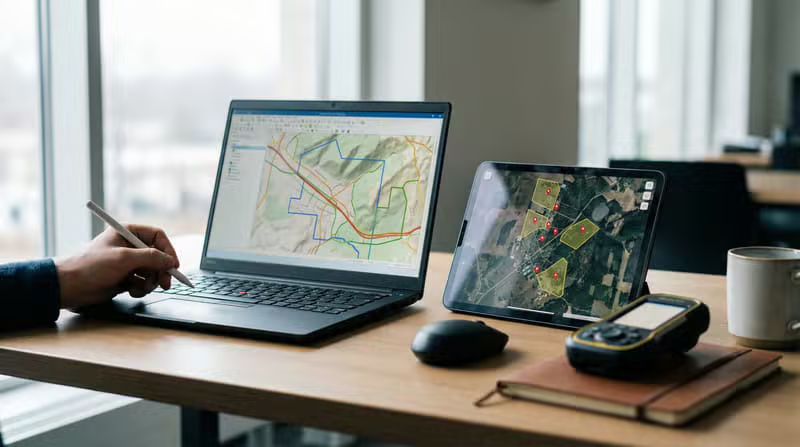
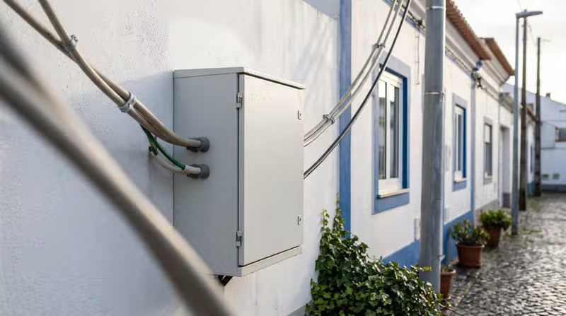
End-to-end mapping of electric and utility networks from as-built drawings, field records and survey data — poles, conductors, transformers, hydrants, valves and service points captured to your data model and symbology.

  • Overhead & underground network mapping
  • Connected topology and attribution
  • Standards-compliant asset registers
GIS Digitisation & Data Conversion

GIS Digitisation & Data Conversion

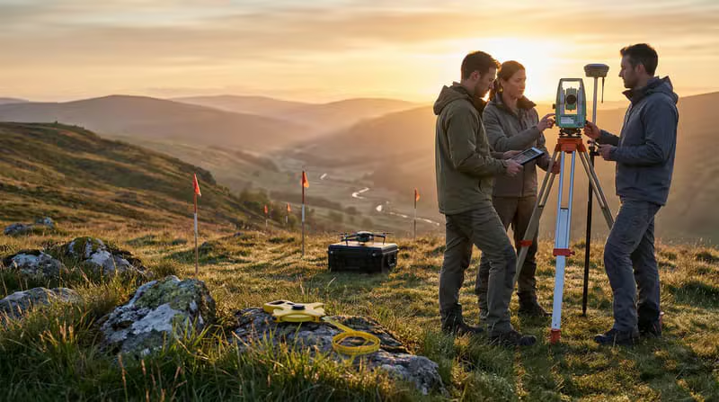
Conversion of paper records, scanned drawings, CAD files and legacy GIS into clean, georeferenced and attributed spatial data ready for modern enterprise geodatabases.

  • Paper and scan-to-GIS digitisation
  • CAD and legacy GIS conversion
  • Schema mapping and data enrichment
CAD Drafting & Engineering

CAD Drafting & Engineering

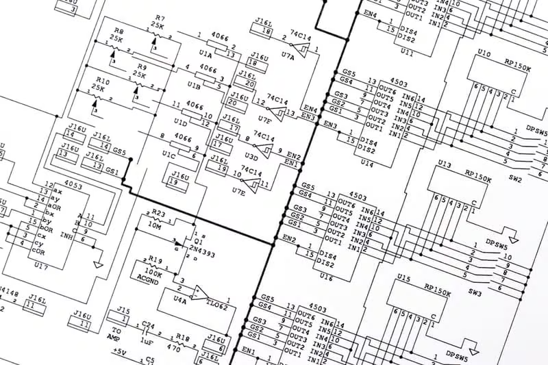
Accurate AutoCAD drafting and engineering drawings for electrical and utility infrastructure — layouts, as-built drawings and detailed designs aligned to client CAD standards.

  • AutoCAD drafting and detailing
  • Electrical and utility layouts
  • As-built and construction drawings
Electricity & Smart Grid Solutions

Electricity & Smart Grid Solutions

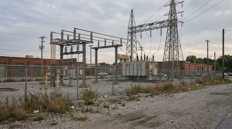
GIS-based asset management and analytics for electricity distribution, supporting network planning, outage analysis and smart grid initiatives with reliable spatial data.

  • Distribution network asset management
  • GIS-based network analytics
  • Smart grid and metering data integration
Remote Sensing & Satellite Image Processing

Remote Sensing & Satellite Image Processing

Processing of satellite, aerial and drone imagery into usable spatial products — classified features, land-use maps, terrain models and orthophotos for your GIS.

  • Satellite and aerial image analysis
  • Land-use and change mapping
  • Orthophoto and terrain products
Water & Wastewater Utilities

Water & Wastewater Utilities

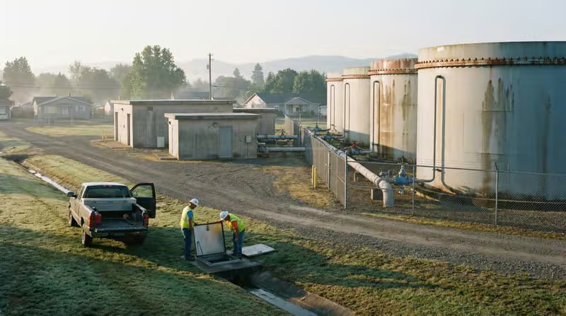
Comprehensive water and wastewater network documentation — mains, valves, hydrants and service connections mapped to support asset management and renewal planning.

  • Water and wastewater network mapping
  • Hydrant, valve & main inventories
  • Asset renewal data support

Engagement Model

A proven path from pilot to production.

We start small, prove quality and scale deliberately — so you gain capacity without adding risk.

01

Discovery & Scoping

We review your data sources, standards and delivery requirements, then define scope, effort and quality gates.

02

Pilot & Validation

A small pilot validates accuracy, turnaround and communication before any long-term commitment.

03

Team Mobilisation

A dedicated GIS pod is assembled with the exact skills, tools and timezone overlap your project needs.

04

Production & QA

Work is produced at scale through a structured QA pipeline with checklist-driven accuracy control.

05

Support & Scale

As volumes grow, we expand the team and absorb new data streams, standards and geographies.

Let’s Talk

Outsource your GIS work with confidence.

Tell us about your project, data volumes and timelines. Our delivery team will respond within one business day with a clear scope and engagement plan.

Varun Subramanyan

Team Contact

Kartik Subramanyan

Team Contact

Last Peak Data Pvt. Ltd D2, Rawdon Chambers
11A Rawdon Street
Kolkata 700019

Request a project consultation